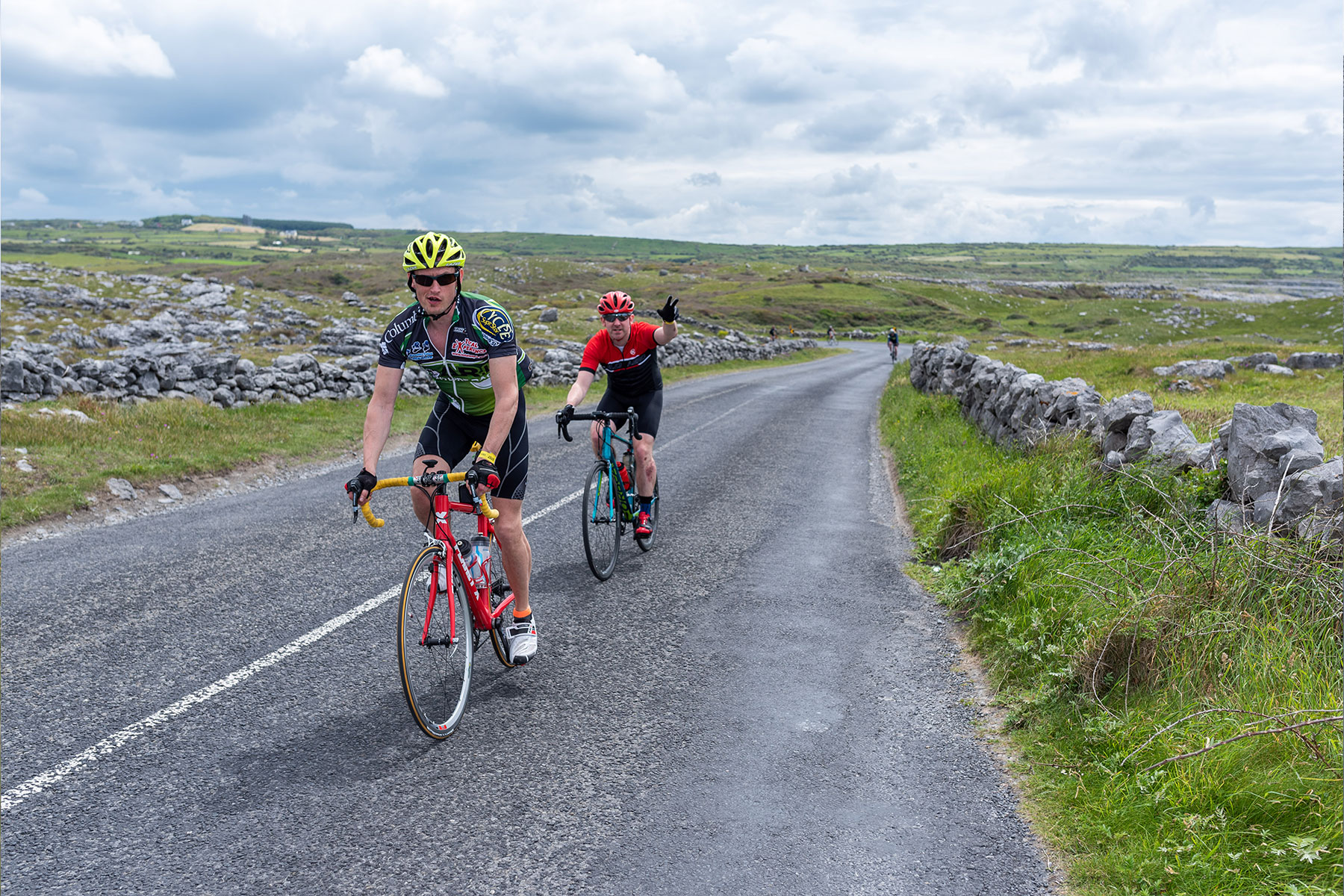
Significant Climbs
Sliabh Eilbhe – 3.25km, 196m, 6%
160km & 125km routes share the first 80km to the top of the Corkscrew Hill.
All riders share the same route home from Kilnaboy to Barefield.
ROUTE HIGHLIGHTS
- Food & Water stops – Ballyvaughan GAA Field & Kilnaboy National School
- Fanore shop available before climb
- You will not descend the Corkscrew but go Right at top of Corkscrew Hill for Kilfenora
- Kilfenora Village shop, Cafe and restaurant
- Kilnaboy Village -Turn left for food stop at Kilnaboy National School – or continue home via Corofin & Ruan
- Essential 2 water bottles & snack fuel
Barefield: Eircode V95 YX37
Ballyvaughan Food Stop Eircode: H91 F6P2
Kilnaboy National School Refreshment Stop Eircode: V95 HX58
Please do not unnecessarily delay or cause traffic build up – pull into a safe spot and allow traffic to flow. Share the road and have respect for all road users.
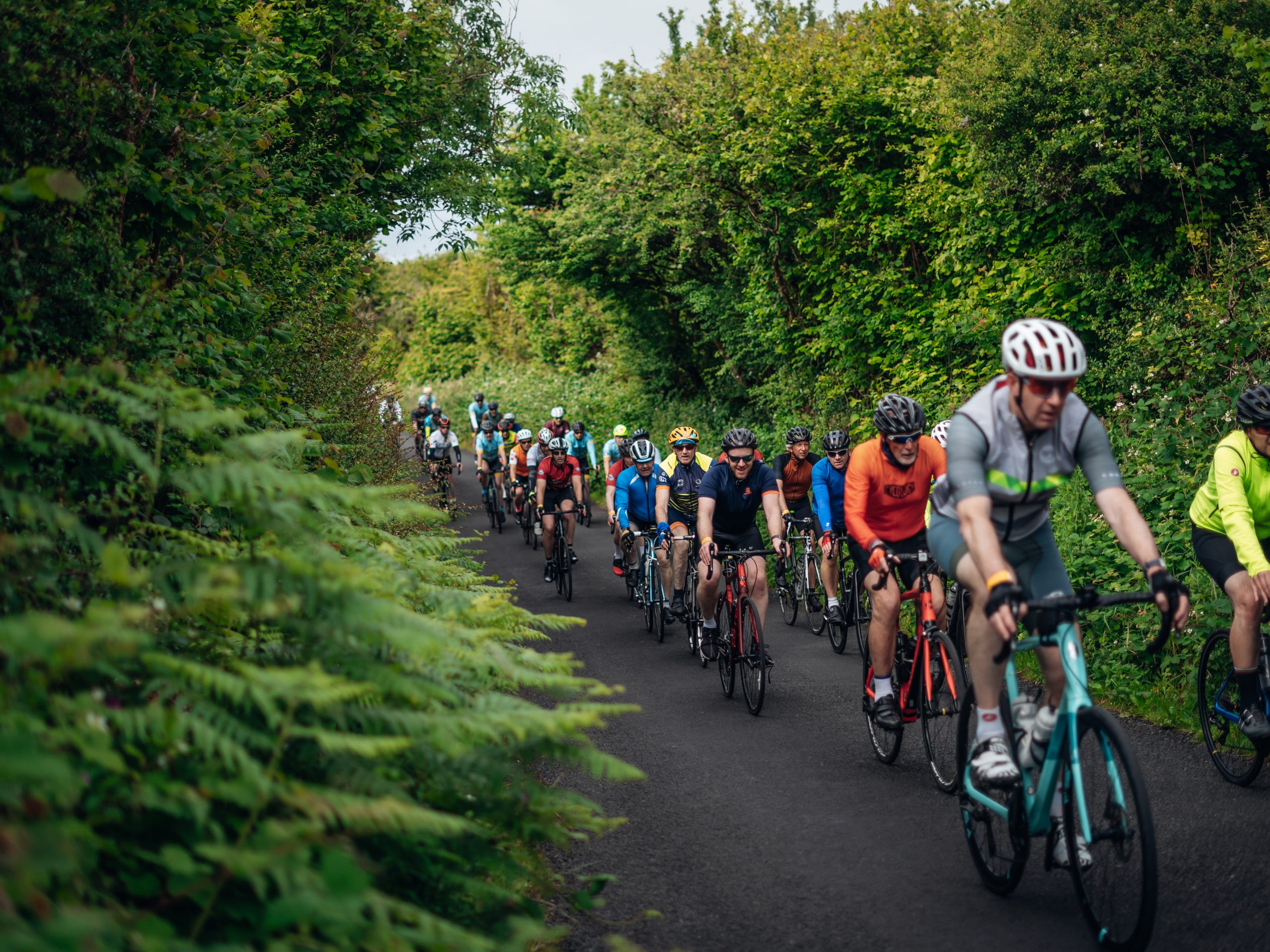
Cycle 2 abreast and indicate hazards to others in time.
Section 1:
Barefield to Ballyvaughan
Barefield to Ballyvaughan
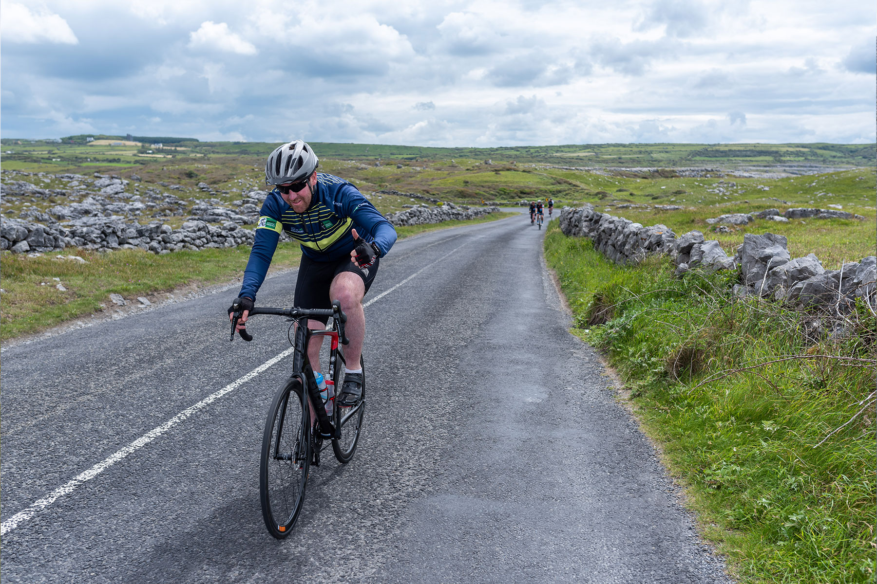
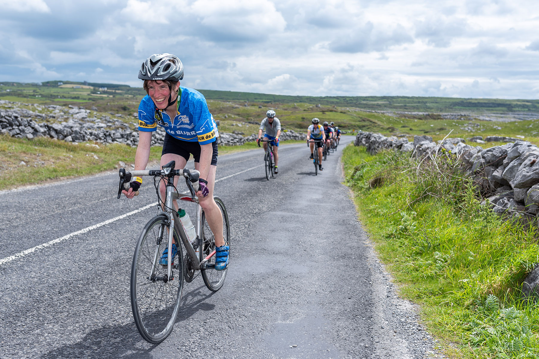
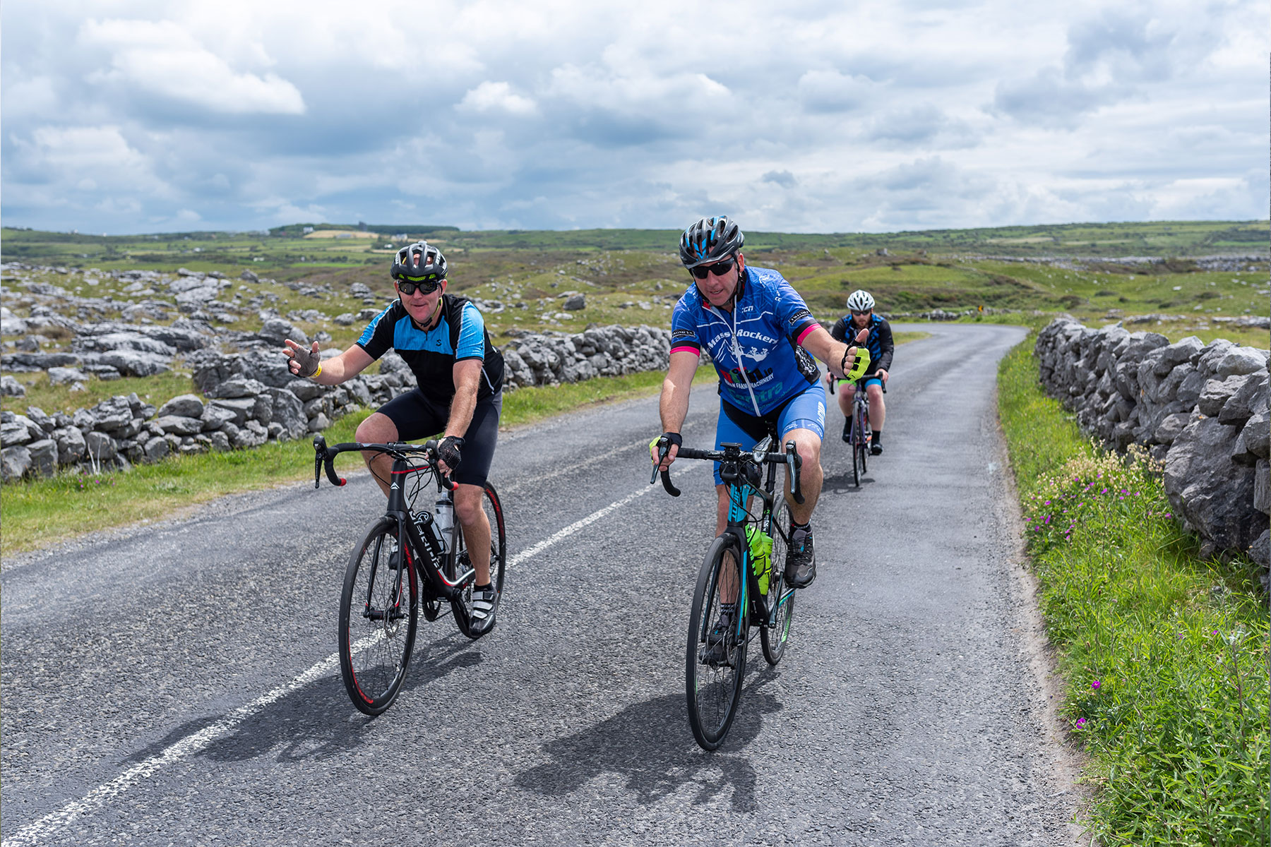
The 125km route is the same as the 160km route up to the top of the Corkscrew. You will travel through Crusheen and Tubber and along the New Line to the bottom of Corker Hill.
At this point you will commence the Climb of Corker Hill .
This road is frequented by tourist traffic especially coaches and tour buses. Proceed with caution and expect to be overtaken.
From the Top of Corker Hill you will shortly take a right into Bell Harbour and then left out onto the N67 for Ballyvaughan.
As you enter Ballyvaughan proceed with extra caution. There is normally a farmers market in the village on the left handside.
In Ballyvaughan you will turn right and just over the bridge you turn left for the Food Stop at Ballyvaughan GAA grounds. Caution entering and Exiting needed.
The food stop in Ballyvaughan GAA Field will close at 3.30pm.
Section 2:
Ballyvaughan to Kilnaboy
Ballyvaughan to Kilnaboy
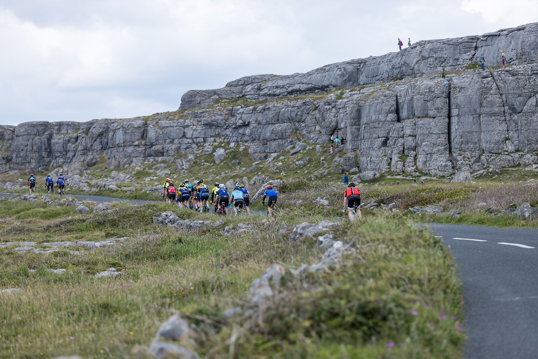
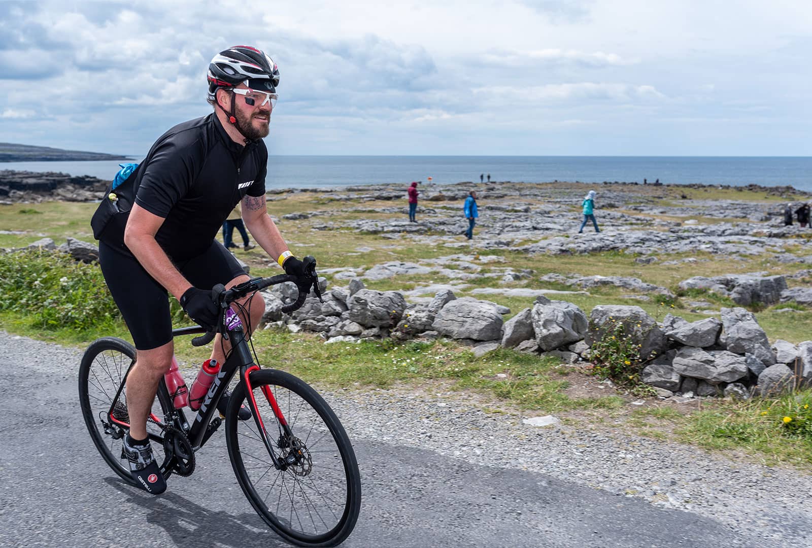
After the food stop you head for the coast road, Black Head Lighthouse and Fanore. At O’Donoghues Pub you will turn left to commence the Sliabh Eilbhe climb. A narrow road so single out and climb at your own pace.
There is a sharp steep descent after Sliabh Eilbhe so please exercise caution, slow down before bends and expect to meet traffic. At the end of the descent is a busy crossroads so STOP before exiting left for the top of the Corkscrew.
You will NOT go down the Corkscrew Hill but instead turn right for Kilfenora / Lisdoonvarna – again a narrow road so proceed with caution and expect to meet local farmers going about their business.
Note: There will be a Snack & Water hut on the top of the Corkscrew to top up so you might have enough to go for home.
Eventually you will arrive in Kilfenora turning left for Kilnaboy and the 2nd Food Stop. Take a left at the junction and travel 500mtrs to the National School.
(Only the 160km riders will descend the Corkscrew Hill. Do not go down Corkscrew Hill.)
Section 3:
Kilnaboy to Barefield
Kilnaboy to Barefield
(Only the 160km riders will descend the Corkscrew Hill. Do not go down Corkscrew Hill.)
Extra Caution is also required as you leave the food stop in Kilnaboy National School as you exit out onto the R476 the main road to Ennis.
You return home through the Village of Corofin, a busy village and be prepared to stop due to traffic. As you exit Corofin there is a narrow bridge, proceed with caution. You will turn Left out the road for Ruan and Dromore Nature Reserve before heading for Barefield.
It’s a busy time for the farming community with silage harvesting so expect to meet farm machinery, pull in safely and allow them to pass.
Overall route
Middle Burren 125km
RECOMMENDATIONS
25-28mm tyres for road bikes with appropriate psi or gravel bikes with 35-40mm tyres with about 35psi and a comfier spin.
Difficulty Rating: 7/10
HOT TIP
With a total of 1200mtrs to climb, DO NOT wait until food stops to drink or eat. Nibble and sip fluid as you go. And don’t go too hard too early, spin those gears.
Please be aware that the roads in these areas have local traffic as well as tourist traffic. When safe allow traffic to pass.